Geolocate

Cabcabon topographic map

Click on the map to display elevation.

About this map
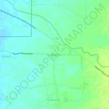
Name: Cabcabon topographic map, elevation, terrain.

Location: Cabcabon, Butuan, Caraga, Philippines (8.96980 125.55965 9.00980 125.59965)

Average elevation: 9 m

Minimum elevation: 2 m

Maximum elevation: 18 m

Other topographic maps

Click on a map to view its topography, its elevation and its terrain.

Taguibo Dam

Philippines > Butuan

Average elevation: 251 m

Taguibo Dam

Philippines > Butuan

Average elevation: 251 m

Taguibo Dam

Philippines > Butuan

Average elevation: 251 m

Gear up for your next adventure:

🧦Hiking Liner Socks - Thin base layer to prevent friction and blisters
🧭GPS Outdoor Watch - Smart watch for navigation and fitness tracking in nature
🥾Approach Boots - Comfortable boots for hiking and climbing approaches
🥤Collapsible Travel Cup - Saves space and weight in your mess kit
🧴Waterproofing Spray - Restore the DWR coating on jackets and tents

As an Amazon Associate, this site earns from qualifying purchases at no extra cost to you.