
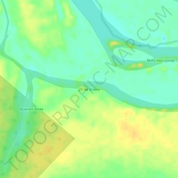
20 de Enero topographic map
Interactive map
Click on the map to display elevation.
About this map
Name: 20 de Enero topographic map, elevation, terrain.
Location: 20 de Enero, Loreto, Perú (-4.67517 -73.84356 -4.63517 -73.80356)
Average elevation: 94 m
Minimum elevation: 82 m
Maximum elevation: 106 m