Geolocate

Ranikhata topographic map

Click on the map to display elevation.

About this map

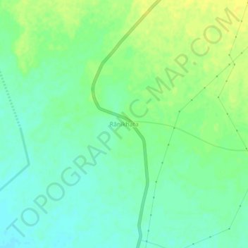
Name: Ranikhata topographic map, elevation, terrain.

Location: Ranikhata, Bengtol, Chirang, Assam, 783375, India (26.61355 90.36401 26.65355 90.40401)

Average elevation: 82 m

Minimum elevation: 72 m

Maximum elevation: 92 m

Gear up for your next adventure:

🪜Heavy Duty Carabiners - Multi-use clips for securing gear to your backpack
👟Leg Gaiters - Keep debris, mud, and snow out of your boots
🛁Quick-Dry Microfiber Towel - Space-saving towel that dries rapidly on the move
🎒Fully Waterproof Backpack - Total protection for photography gear and electronics
🥾Approach Boots - Comfortable boots for hiking and climbing approaches

As an Amazon Associate, this site earns from qualifying purchases at no extra cost to you.