
Stockton topographic map
Interactive map
Click on the map to display elevation.
About this map
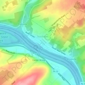
Name: Stockton topographic map, elevation, terrain.
Location: Stockton, Hunterdon County, New Jersey, 08559:18938, USA (40.39814 -74.98698 40.41364 -74.96499)
Average elevation: 61 m
Minimum elevation: 15 m
Maximum elevation: 130 m