
Vielha topographic map
Interactive map
Click on the map to display elevation.
About this map
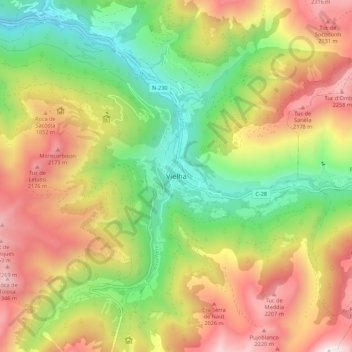
Name: Vielha topographic map, elevation, terrain.
Location: Vielha, Val d'Aran, Lerida, Catalonië, 25530, Spanje (42.66176 0.75547 42.74176 0.83547)
Average elevation: 1,564 m
Minimum elevation: 842 m
Maximum elevation: 2,434 m