
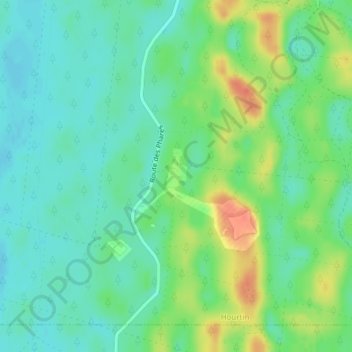
Phare d'Hourtin - Tour Sud topographic map
Interactive map
Click on the map to display elevation.
About this map
Name: Phare d'Hourtin - Tour Sud topographic map, elevation, terrain.
Average elevation: 24 m
Minimum elevation: 7 m
Maximum elevation: 56 m
Other topographic maps
Click on a map to view its topography, its elevation and its terrain.
Pointe Blanche
France > Nouvelle-Aquitaine > Hourtin
Pointe Blanche, Hourtin, Lesparre-Médoc, Gironde, Nouvelle-Aquitaine, France métropolitaine, 33990, France
Average elevation: 18 m