
William Casey Park topographic map
Interactive map
Click on the map to display elevation.
About this map
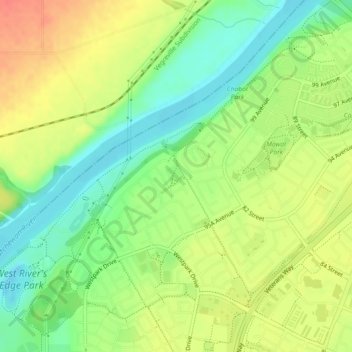
Name: William Casey Park topographic map, elevation, terrain.
Location: William Casey Park, Fort Saskatchewan, Alberta, Canada (53.69023 -113.25545 53.69317 -113.25185)
Average elevation: 624 m
Minimum elevation: 599 m
Maximum elevation: 650 m
Other topographic maps
Click on a map to view its topography, its elevation and its terrain.
Fort Saskatchewan
Canada > Alberta > Fort Saskatchewan
Fort Saskatchewan, Alberta, T8L 1Y8, Canada
Average elevation: 662 m