Geolocate

Sint Maarten topographic map

Click on the map to display elevation.

About this map

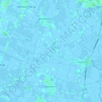
Name: Sint Maarten topographic map, elevation, terrain.

Location: Sint Maarten, Schagen, North Holland, Netherlands (52.73236 4.70323 52.77946 4.79580)

Average elevation: 0 m

Minimum elevation: -4 m

Maximum elevation: 4 m

Gear up for your next adventure:

🥾Lightweight Hiking Shoes - Comfortable shoes for day hikes
🚲Heavy Duty Bike Lock - Secure your bike at the trailhead or during stops
🕯️Camping Lantern - Illuminates your entire campsite with high-efficiency LEDs
🧢Beanie Hat - Keep your head warm in cold weather
🛌Down Sleeping Bag - Superior warmth-to-weight ratio for cold nights

As an Amazon Associate, this site earns from qualifying purchases at no extra cost to you.