Geolocate

Dunne Ke topographic map

Click on the map to display elevation.

About this map

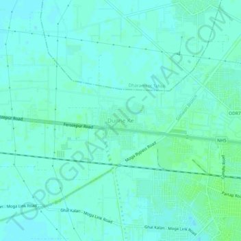
Name: Dunne Ke topographic map, elevation, terrain.

Location: Dunne Ke, Moga Tahsil, Moga, Punjab, 142001, India (30.80734 75.12388 30.84734 75.16388)

Average elevation: 222 m

Minimum elevation: 219 m

Maximum elevation: 226 m

Gear up for your next adventure:

🦯Trekking Poles - Reduced impact on joints for steep topographic climbs
🧢Beanie Hat - Keep your head warm in cold weather
🚲Bike Repair Kit - Essential tools for on-trail mechanical issues
🧦Thermal Socks - Warm socks for winter hiking or camping
🔋Solar Power Bank - Keep your GPS and devices charged during long outdoor trips

As an Amazon Associate, this site earns from qualifying purchases at no extra cost to you.