Geolocate

Tingana topographic map

Click on the map to display elevation.

About this map

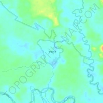
Name: Tingana topographic map, elevation, terrain.

Location: Tingana, Moyobamba, San Martín, Perú (-5.93041 -77.13587 -5.89041 -77.09587)

Average elevation: 810 m

Minimum elevation: 801 m

Maximum elevation: 837 m

Other topographic maps

Click on a map to view its topography, its elevation and its terrain.

Lluyllucucha

Perú > San Martín > Moyobamba

Average elevation: 839 m

Santa Clara

Perú > San Martín > Moyobamba

Average elevation: 825 m

Río Mayo

Perú > San Martín > Moyobamba > La Primavera

Average elevation: 854 m

Gear up for your next adventure:

🧦Crew Hiking Socks - Comfortable socks for long-distance hikes
🔨Vehicle Emergency Tool - Safety tool for remote road trips to trailheads
🧴Waterproofing Spray - Restore the DWR coating on jackets and tents
🪑Insulated Seat Pad - Protect your seat from cold rocks and wet logs
🧥Softshell Hiking Jacket - The perfect balance of wind protection and breathability

As an Amazon Associate, this site earns from qualifying purchases at no extra cost to you.