
Fifield topographic map
Click on the map to display elevation.
About this map
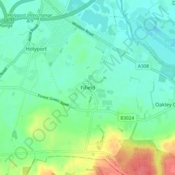
Name: Fifield topographic map, elevation, terrain.
Location: Fifield, Bray, Berkshire, England, SL6 2PB, United Kingdom (51.46346 -0.71505 51.50346 -0.67505)
Average elevation: 33 m
Minimum elevation: 17 m
Maximum elevation: 74 m
Other topographic maps
Click on a map to view its topography, its elevation and its terrain.