Geolocate

Galeotta topographic map

Click on the map to display elevation.

About this map

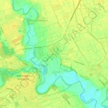
Name: Galeotta topographic map, elevation, terrain.

Location: Galeotta, Sant'Angelo Lodigiano, Lodi, Lombardy, 26851, Italy (45.22663 9.40482 45.26663 9.44482)

Average elevation: 70 m

Minimum elevation: 55 m

Maximum elevation: 80 m

Gear up for your next adventure:

🛁Quick-Dry Microfiber Towel - Space-saving towel that dries rapidly on the move
💧Filtered Water Bottle - Safe drinking water on the go
🧤Thermal Hiking Gloves - Grip-enhanced gloves for cold-weather altitude trekking
🧥Ultralight Puffy Jacket - Maximum warmth that packs down to the size of an orange
🥾Hiking Leggings - Comfortable leggings for outdoor activities

As an Amazon Associate, this site earns from qualifying purchases at no extra cost to you.