
Thank you for supporting this site ❤️
Make a donation
Make a donation
Gear up for your next adventure:
As an Amazon Associate, this site earns from qualifying purchases at no extra cost to you.
Dugara topographic map
Click on the map to display elevation.
Thank you for supporting this site ❤️
Make a donation
Make a donation
Gear up for your next adventure:
As an Amazon Associate, this site earns from qualifying purchases at no extra cost to you.
About this map
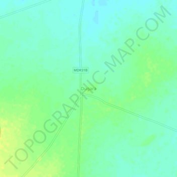
Name: Dugara topographic map, elevation, terrain.
Location: Dugara, Tahrauli, Jhansi, Uttar Pradesh, 284206, Inde (25.42620 79.13457 25.46620 79.17457)
Average elevation: 187 m
Minimum elevation: 179 m
Maximum elevation: 197 m
Thank you for supporting this site ❤️
Make a donation
Make a donation
Gear up for your next adventure:
As an Amazon Associate, this site earns from qualifying purchases at no extra cost to you.