Geolocate

Payao topographic map

Click on the map to display elevation.

About this map

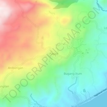
Name: Payao topographic map, elevation, terrain.

Location: Payao, Duero, Bohol, Central Visayas, 6309, Philippines (9.71243 124.38258 9.75243 124.42258)

Average elevation: 303 m

Minimum elevation: 0 m

Maximum elevation: 774 m

Gear up for your next adventure:

🩹Compact First Aid Kit - Pre-packed essentials for common trail injuries
🥾Mountaineering Boots - Supportive boots for climbing and high-altitude hiking
🏃Hydration Running Vest - Carry water and maps close to your body for speed
🔋Emergency Crank Radio - Weather alerts and power without needing batteries
🧢Hiking Sun Hat - Wide-brimmed protection for exposed mountain ridges

As an Amazon Associate, this site earns from qualifying purchases at no extra cost to you.