Geolocate

Straumsbotn topographic map

Click on the map to display elevation.

About this map

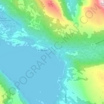
Name: Straumsbotn topographic map, elevation, terrain.

Location: Straumsbotn, Senja, Troms og Finnmark, Norway (69.36960 17.37762 69.40960 17.41762)

Average elevation: 152 m

Minimum elevation: -1 m

Maximum elevation: 769 m

Gear up for your next adventure:

🧤Insulated Winter Gloves - Heavy-duty protection for sub-zero Canadian adventures
🧢Hiking Sun Hat - Wide-brimmed protection for exposed mountain ridges
🪑Insulated Seat Pad - Protect your seat from cold rocks and wet logs
🧭GPS Outdoor Watch - Smart watch for navigation and fitness tracking in nature
🔨Vehicle Emergency Tool - Safety tool for remote road trips to trailheads

As an Amazon Associate, this site earns from qualifying purchases at no extra cost to you.