Geolocate

Rocca topographic map

Click on the map to display elevation.

About this map

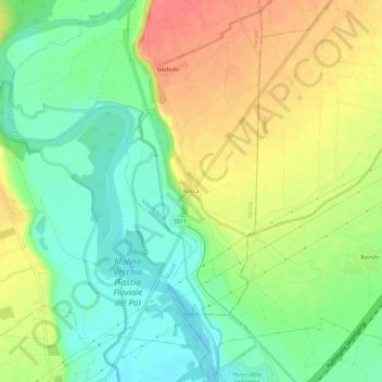
Name: Rocca topographic map, elevation, terrain.

Location: Rocca, Villareggia, Torino, Piemonte, 10035, Italia (45.25445 7.96127 45.29445 8.00127)

Average elevation: 216 m

Minimum elevation: 186 m

Maximum elevation: 254 m

Gear up for your next adventure:

🧣Merino Neck Gaiter - Protects against wind, sun, and cold at high altitudes
🧴Sunscreen SPF - Broad-spectrum sunscreen for outdoor activities
🧥Softshell Jacket - Windproof and breathable jacket for hiking
🥘Camping Cookware Set - Compact nesting pots and pans for trail cooking
🪑Insulated Seat Pad - Protect your seat from cold rocks and wet logs

As an Amazon Associate, this site earns from qualifying purchases at no extra cost to you.