Geolocate

Chacchoben topographic map

Click on the map to display elevation.

About this map

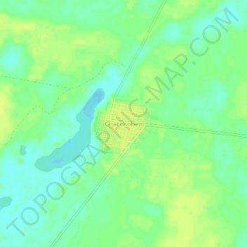
Name: Chacchoben topographic map, elevation, terrain.

Location: Chacchoben, Bacalar, Quintana Roo, Mexico (19.01615 -88.19404 19.05615 -88.15404)

Average elevation: 10 m

Minimum elevation: 1 m

Maximum elevation: 18 m

Gear up for your next adventure:

🛏️Sleeping Bag - Warm and compact sleeping bags for outdoor camping
💡Solar Camping Lamp - Eco-friendly lighting for campsites
🔋Lithium AA Batteries - Long-lasting power that performs in extreme cold
💧Reusable Water Bottle - Durable water bottles for hydration on trails
🥾Hiking Leggings - Comfortable leggings for outdoor activities

As an Amazon Associate, this site earns from qualifying purchases at no extra cost to you.