
Ouled Rahmoune topographic map
Interactive map
Click on the map to display elevation.
About this map
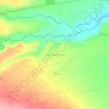
Name: Ouled Rahmoune topographic map, elevation, terrain.
Location: Ouled Rahmoune, Daïra Sidi Naamane, Médéa, Algérie (36.17327 3.07048 36.21327 3.11048)
Average elevation: 666 m
Minimum elevation: 601 m
Maximum elevation: 745 m