
Aurangabad topographic map
Interactive map
Click on the map to display elevation.
About this map
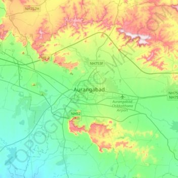
Name: Aurangabad topographic map, elevation, terrain.
Location: Aurangabad, Maharashtra, 431002, Inde (19.71726 75.17902 20.03726 75.49902)
Average elevation: 618 m
Minimum elevation: 482 m
Maximum elevation: 934 m