Geolocate

Timber Pines topographic map

Click on the map to display elevation.

About this map

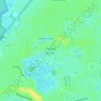
Name: Timber Pines topographic map, elevation, terrain.

Location: Timber Pines, Hernando County, Florida, United States (28.45572 -82.61907 28.47756 -82.58425)

Average elevation: 12 m

Minimum elevation: 4 m

Maximum elevation: 24 m

Gear up for your next adventure:

👖Convertible Hiking Pants - Zip-off legs to adapt to changing weather conditions
🔋Emergency Crank Radio - Weather alerts and power without needing batteries
🥾Hiking Shoes - Durable and comfortable shoes for trail hiking
🚲Heavy Duty Bike Lock - Secure your bike at the trailhead or during stops
🥾Mountain Hiking Boots - High-traction boots for rocky terrain

As an Amazon Associate, this site earns from qualifying purchases at no extra cost to you.