
Río Jiménez topographic map
Interactive map
Click on the map to display elevation.
About this map
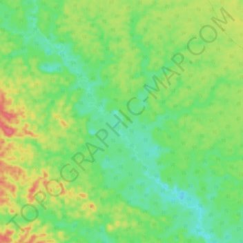
Name: Río Jiménez topographic map, elevation, terrain.
Location: Río Jiménez, Putumayo, Loreto, Perú (-2.30503 -73.37040 -2.20862 -73.29915)
Average elevation: 140 m
Minimum elevation: 117 m
Maximum elevation: 176 m