
Isla Tiburón topographic map
Interactive map
Click on the map to display elevation.
About this map
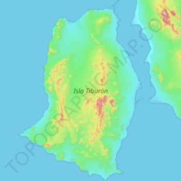
Name: Isla Tiburón topographic map, elevation, terrain.
Location: Isla Tiburón, Hermosillo, Sonora, Mexiko (28.74686 -112.58405 29.22955 -112.18882)
Average elevation: 90 m
Minimum elevation: -1 m
Maximum elevation: 1,014 m
Other topographic maps
Click on a map to view its topography, its elevation and its terrain.