
Lac Lemay topographic map
Interactive map
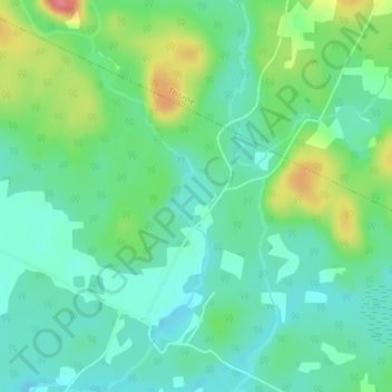
Click on the map to display elevation.
About this map
Name: Lac Lemay topographic map, elevation, terrain.
Average elevation: 196 m
Minimum elevation: 172 m
Maximum elevation: 252 m
Other topographic maps
Click on a map to view its topography, its elevation and its terrain.
Lac Thorne
Lac Thorne, Chemin Killoran, Thorne, Pontiac (MRC), Outaouais, Québec, Canada
Average elevation: 216 m