
Thank you for supporting this site ❤️
Make a donation
Make a donation
Gear up for your next adventure:
As an Amazon Associate, this site earns from qualifying purchases at no extra cost to you.
Villayandre topographic map
Click on the map to display elevation.
Thank you for supporting this site ❤️
Make a donation
Make a donation
Gear up for your next adventure:
As an Amazon Associate, this site earns from qualifying purchases at no extra cost to you.
About this map
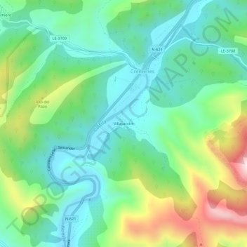
Name: Villayandre topographic map, elevation, terrain.
Location: Villayandre, Crémenes, Leão, Castela e Leão, 24980, Espanha (42.87487 -5.16731 42.91487 -5.12731)
Average elevation: 1,160 m
Minimum elevation: 970 m
Maximum elevation: 1,605 m
Thank you for supporting this site ❤️
Make a donation
Make a donation
Gear up for your next adventure:
As an Amazon Associate, this site earns from qualifying purchases at no extra cost to you.