Geolocate

San Carlo topographic map

Click on the map to display elevation.

About this map
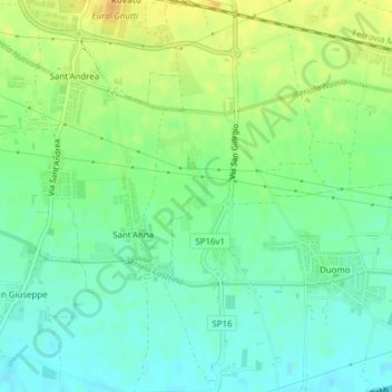
Name: San Carlo topographic map, elevation, terrain.

Location: San Carlo, Sant'Anna, Rovato, Brescia, Lombardia, 25038, Italia (45.52781 9.99821 45.54781 10.01821)

Average elevation: 148 m

Minimum elevation: 135 m

Maximum elevation: 166 m

Gear up for your next adventure:

🧥Waterproof Pants - Keep dry during rainy hiking conditions
🧢Sun Protection Cap - Breathable cap to protect from sun exposure
🧦Merino Wool Socks - Moisture-wicking comfort for long-distance hiking
🦶Anti-Blister Balm - Prevents friction and hotspots during long ascents
👟Trail Running Shoes - Agile footwear for fast-paced topographic exploration

As an Amazon Associate, this site earns from qualifying purchases at no extra cost to you.