
Chañar Blanco topographic map
Click on the map to display elevation.
About this map
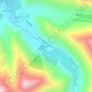
Name: Chañar Blanco topographic map, elevation, terrain.
Average elevation: 1,281 m
Minimum elevation: 902 m
Maximum elevation: 2,024 m
Other topographic maps
Click on a map to view its topography, its elevation and its terrain.
rio claro (elqui)
Chile > Región de Coquimbo > Provincia de Elqui > Paihuano
Average elevation: 2,406 m
Santuario de la Naturaleza Río Cochiguaz
Chile > Región de Coquimbo > Provincia de Elqui > Paihuano
Average elevation: 3,721 m