Geolocate

Wasserbourg topographic map

Click on the map to display elevation.

About this map
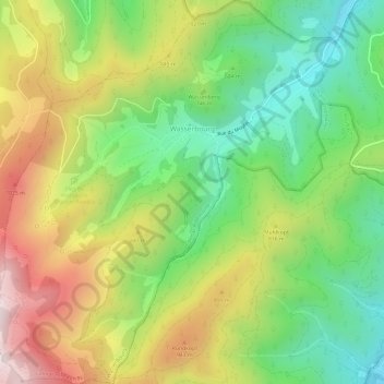
Name: Wasserbourg topographic map, elevation, terrain.

Location: Wasserbourg, Colmar-Ribeauvillé, Haut-Rhin, Grand Est, Metropolitan France, 68230, France (47.97626 7.12853 48.01645 7.18285)

Average elevation: 729 m

Minimum elevation: 391 m

Maximum elevation: 1,189 m

Other topographic maps

Click on a map to view its topography, its elevation and its terrain.

Kurze

France > Grand Est > Haut-Rhin > Kunheim

Average elevation: 186 m

Gear up for your next adventure:

🥾Hiking Gaiters - Protect legs and shoes from mud, snow, and debris
🥾Trekking Poles - Adjustable trekking poles to reduce knee stress and improve stability
🧣Evaporative Cooling Towel - Beat the heat during intense summer climbs
🔦LED Flashlight - Powerful and long-lasting flashlight for camping and emergencies
🪜Heavy Duty Carabiners - Multi-use clips for securing gear to your backpack

As an Amazon Associate, this site earns from qualifying purchases at no extra cost to you.