Geolocate

Farmland topographic map

Click on the map to display elevation.

About this map

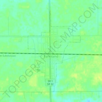
Name: Farmland topographic map, elevation, terrain.

Location: Farmland, Randolph County, Indiana, United States (40.17846 -85.13548 40.19991 -85.11728)

Average elevation: 318 m

Minimum elevation: 309 m

Maximum elevation: 325 m

Gear up for your next adventure:

🕯️Camping Lantern - Illuminates your entire campsite with high-efficiency LEDs
🚲Handlebar Phone Mount - View topographic-map.com live while cycling
🍽️Titanium Camping Spork - Ultralight and indestructible eating utensil
🕶️Polarized Sunglasses - Reduces glare from snow and water at high elevations
🥾Trail Hiking Socks - Comfortable socks to prevent blisters and fatigue

As an Amazon Associate, this site earns from qualifying purchases at no extra cost to you.