
Nora kommun topographic map
Interactive map
Click on the map to display elevation.
About this map
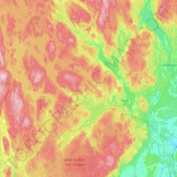
Name: Nora kommun topographic map, elevation, terrain.
Location: Nora kommun, Provincia de Örebro, Svealand, Suecia (59.35755 14.62406 59.72846 15.17238)
Average elevation: 166 m
Minimum elevation: 33 m
Maximum elevation: 326 m
Other topographic maps
Click on a map to view its topography, its elevation and its terrain.
Brevens bruk
Suecia > Provincia de Örebro > Brevens bruk
Brevens bruk, Örebro, Provincia de Örebro, Svealand, 715 96, Suecia
Average elevation: 93 m