Geolocate

Ulrichstein topographic map

Click on the map to display elevation.

About this map

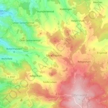
Name: Ulrichstein topographic map, elevation, terrain.

Location: Ulrichstein, Vogelsbergkreis, Hesse, 35327, Germany (50.53367 9.10466 50.62084 9.26062)

Average elevation: 522 m

Minimum elevation: 314 m

Maximum elevation: 755 m

Gear up for your next adventure:

🧭GPS Outdoor Watch - Smart watch for navigation and fitness tracking in nature
🥾Light Trekking Boots - Supportive boots for multi-day treks
🐕Hiking Dog Pack - Let your canine companion carry their own water and food
🦌Outdoor Trail Camera - Monitor wildlife activity near your favorite spots
🧦Merino Wool Socks - Moisture-wicking comfort for long-distance hiking

As an Amazon Associate, this site earns from qualifying purchases at no extra cost to you.