Geolocate

Soto de Ribera topographic map

Click on the map to display elevation.

About this map

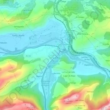
Name: Soto de Ribera topographic map, elevation, terrain.

Location: Soto de Ribera, Ribera de Arriba, Asturias, 33172, España (43.28882 -5.89648 43.32882 -5.85648)

Average elevation: 229 m

Minimum elevation: 111 m

Maximum elevation: 537 m

Other topographic maps

Click on a map to view its topography, its elevation and its terrain.

Gear up for your next adventure:

🥾Waterproof Hiking Boots - Boots keeping your feet dry in wet conditions
Camping Groundsheet - Protect your tent from moisture and dirt
🔦UV Flashlight - Detect minerals or specific insects in the dark
Tent Footprint - Protect tent floor and increase durability
Lightweight Backpacking Tent - Compact tent for efficient hiking trips

As an Amazon Associate, this site earns from qualifying purchases at no extra cost to you.