Geolocate

Lucile topographic map

Click on the map to display elevation.

About this map

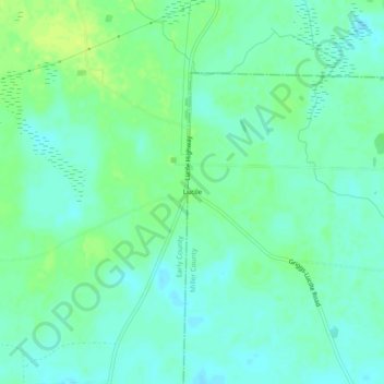
Name: Lucile topographic map, elevation, terrain.

Location: Lucile, Miller County, Georgia, United States (31.22351 -84.93715 31.26351 -84.89715)

Average elevation: 65 m

Minimum elevation: 58 m

Maximum elevation: 73 m

Gear up for your next adventure:

Tent Footprint - Protect tent floor and increase durability
🥾Light Trekking Boots - Supportive boots for multi-day treks
🧢Outdoor Cap - Protective cap for sun and rain during hikes
👟Leg Gaiters - Keep debris, mud, and snow out of your boots
🧥Waterproof Pants - Keep dry during rainy hiking conditions

As an Amazon Associate, this site earns from qualifying purchases at no extra cost to you.