
La Tuilière topographic map
Interactive map
Click on the map to display elevation.
About this map
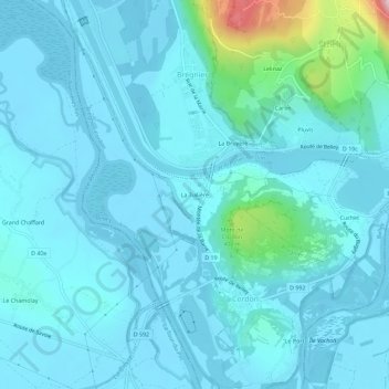
Name: La Tuilière topographic map, elevation, terrain.
Average elevation: 246 m
Minimum elevation: 205 m
Maximum elevation: 590 m
Other topographic maps
Click on a map to view its topography, its elevation and its terrain.
La Bruyère
France > Auvergne-Rhône-Alpes > Ain > Brégnier-Cordon > Brégnier
La Bruyère, Brégnier, Brégnier-Cordon, Belley, Ain, Auvergne-Rhône-Alpes, France métropolitaine, 01300, France
Average elevation: 276 m