
Surrey topographic map
Interactive map
Click on the map to display elevation.
About this map
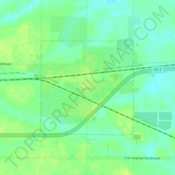
Name: Surrey topographic map, elevation, terrain.
Location: Surrey, Ward County, North Dakota, United States (48.22918 -101.14440 48.24380 -101.12289)
Average elevation: 495 m
Minimum elevation: 487 m
Maximum elevation: 501 m
Other topographic maps
Click on a map to view its topography, its elevation and its terrain.
Kenmare
United States > North Dakota > Ward County
Kenmare, Ward County, North Dakota, United States
Average elevation: 577 m