
Boșteni topographic map
Interactive map
Click on the map to display elevation.
About this map
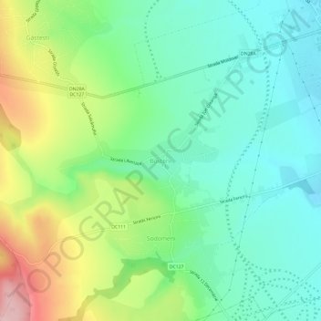
Name: Boșteni topographic map, elevation, terrain.
Location: Boșteni, Pașcani, Jassy, 705202, Rumänien (47.21199 26.66435 47.25199 26.70435)
Average elevation: 306 m
Minimum elevation: 237 m
Maximum elevation: 452 m
Other topographic maps
Click on a map to view its topography, its elevation and its terrain.