Geolocate

Alapan II-B topographic map

Click on the map to display elevation.

About this map

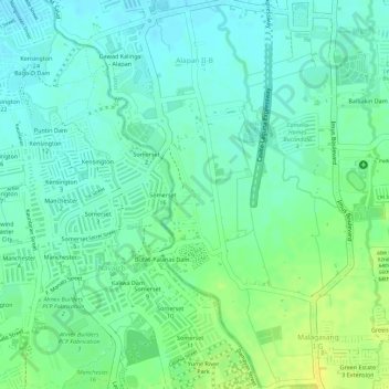
Name: Alapan II-B topographic map, elevation, terrain.

Location: Alapan II-B, Imus, Cavite, Calabarzon, 4103, Philippines (14.37804 120.90009 14.40484 120.91888)

Average elevation: 20 m

Minimum elevation: 11 m

Maximum elevation: 33 m

Gear up for your next adventure:

🚲Heavy Duty Bike Lock - Secure your bike at the trailhead or during stops
🪑Ultralight Camping Stool - Compact seating for rest stops during long hikes
🧦Hiking Liner Socks - Thin base layer to prevent friction and blisters
🔦LED Headlamp - Hands-free lighting for early morning starts or late finishes
🕯️Camping Lantern - Illuminates your entire campsite with high-efficiency LEDs

As an Amazon Associate, this site earns from qualifying purchases at no extra cost to you.