
Make a donation
Gear up for your next adventure:
As an Amazon Associate, this site earns from qualifying purchases at no extra cost to you.
Mackenberg topographic map
Click on the map to display elevation.
Make a donation
Gear up for your next adventure:
As an Amazon Associate, this site earns from qualifying purchases at no extra cost to you.
Mackenberg
Etwa 300 m ostnordöstlich vom Gipfel des Mackenbergs befindet sich nahe einem auf 172,9 m Höhe liegenden trigonometrischen Punkt der Sender Oelde (Mackenberg). Am 1. Januar 2000 wurde er mit einem Stahlfachwerkturm in Betrieb genommen.
Make a donation
Gear up for your next adventure:
As an Amazon Associate, this site earns from qualifying purchases at no extra cost to you.
About this map
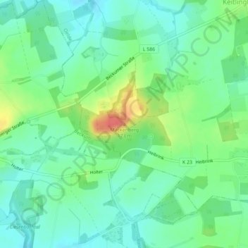
Name: Mackenberg topographic map, elevation, terrain.
Average elevation: 136 m
Minimum elevation: 117 m
Maximum elevation: 175 m
Make a donation
Gear up for your next adventure:
As an Amazon Associate, this site earns from qualifying purchases at no extra cost to you.