
Lions Park (Tallebudgera Valley) topographic map
Interactive map
Click on the map to display elevation.
About this map
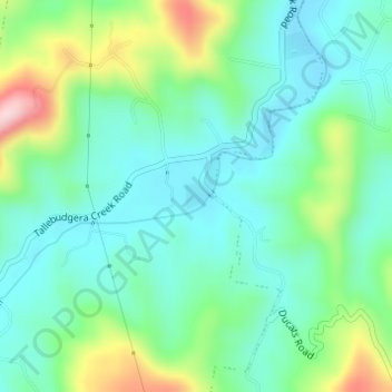
Name: Lions Park (Tallebudgera Valley) topographic map, elevation, terrain.
Average elevation: 79 m
Minimum elevation: 8 m
Maximum elevation: 267 m
Other topographic maps
Click on a map to view its topography, its elevation and its terrain.
Isle of Capri
Australia > Queensland > Gold Coast City
Isle of Capri, Surfers Paradise, Gold Coast City, Queensland, Australia
Average elevation: 3 m