
Puthuval topographic map
Click on the map to display elevation.
About this map
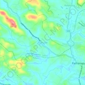
Name: Puthuval topographic map, elevation, terrain.
Location: Puthuval, Adoor, Pathanamthitta, Kerala, 689695, India (9.08237 76.81783 9.12237 76.85783)
Average elevation: 40 m
Minimum elevation: 14 m
Maximum elevation: 126 m