Geolocate

Solomon topographic map

Click on the map to display elevation.

About this map

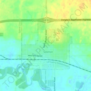
Name: Solomon topographic map, elevation, terrain.

Location: Solomon, Dickinson County, Kansas, United States (38.91413 -97.38277 38.92853 -97.36200)

Average elevation: 364 m

Minimum elevation: 353 m

Maximum elevation: 380 m

Gear up for your next adventure:

🧥Waterproof Jacket - Lightweight rain jackets for hiking and outdoor activities
🛌Insulated Sleeping Pad - Critical thermal barrier between you and the cold ground
🥾Waterproof Hiking Boots - Boots keeping your feet dry in wet conditions
🎒Fully Waterproof Backpack - Total protection for photography gear and electronics
🦯Trekking Poles - Reduced impact on joints for steep topographic climbs

As an Amazon Associate, this site earns from qualifying purchases at no extra cost to you.