Geolocate

Gumma topographic map

Click on the map to display elevation.

About this map

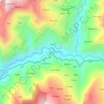
Name: Gumma topographic map, elevation, terrain.

Location: Gumma, Kotkhai, Shimla, Himachal Pradesh, 171202, India (31.10045 77.46726 31.14045 77.50726)

Average elevation: 1,807 m

Minimum elevation: 1,430 m

Maximum elevation: 2,351 m

Gear up for your next adventure:

🎒Hiking Backpack - Lightweight and ergonomic backpacks for day hikes or multi-day treks
🧢Beanie Hat - Keep your head warm in cold weather
🥾Lightweight Hiking Boots - Boots for comfort and mobility on long hikes
🛏️Camping Sleeping Mat - Comfortable mats for sleeping outdoors
🔋Lithium AA Batteries - Long-lasting power that performs in extreme cold

As an Amazon Associate, this site earns from qualifying purchases at no extra cost to you.