
Town of Gainesville topographic map
Interactive map
Click on the map to display elevation.
About this map
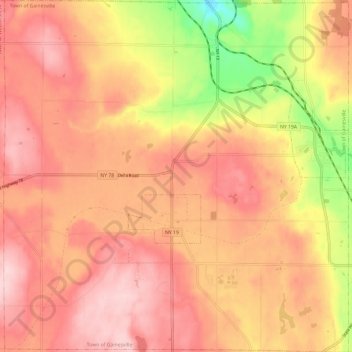
Name: Town of Gainesville topographic map, elevation, terrain.
Location: Town of Gainesville, Wyoming County, New York, United States (42.60819 -78.19125 42.69603 -78.07407)
Average elevation: 490 m
Minimum elevation: 350 m
Maximum elevation: 563 m
Other topographic maps
Click on a map to view its topography, its elevation and its terrain.
Village of Arcade
United States > New York > Wyoming County
Village of Arcade, Town of Arcade, Wyoming County, New York, United States
Average elevation: 478 m
Village of Silver Springs
United States > New York > Wyoming County > Town of Gainesville
Village of Silver Springs, Town of Gainesville, Wyoming County, New York, United States
Average elevation: 447 m
Town of Bennington
United States > New York > Wyoming County
Town of Bennington, Wyoming County, New York, 14037, United States
Average elevation: 383 m