Geolocate

Batu Bungan topographic map

Click on the map to display elevation.

About this map

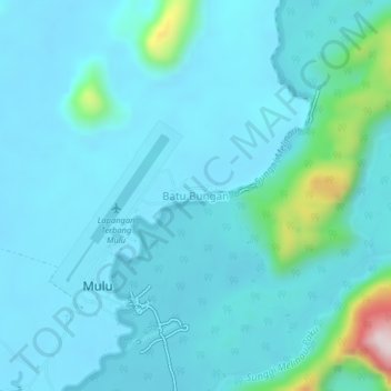
Name: Batu Bungan topographic map, elevation, terrain.

Location: Batu Bungan, Marudi, Miri Division, Sarawak, 98008, Malaysia (4.03365 114.79863 4.07365 114.83863)

Average elevation: 72 m

Minimum elevation: 16 m

Maximum elevation: 505 m

Other topographic maps

Click on a map to view its topography, its elevation and its terrain.

Tutoh River

Malaysia > Sarawak > Marudi

Average elevation: 51 m

Gunung Mulu National Park

Malaysia > Sarawak > Marudi

Average elevation: 460 m

Gear up for your next adventure:

🧥Waterproof Jacket - Lightweight rain jackets for hiking and outdoor activities
🛏️Sleeping Bag - Warm and compact sleeping bags for outdoor camping
🥾Hiking Boots - Sturdy boots providing ankle support and traction on rugged trails
🧢Sun Protection Cap - Breathable cap to protect from sun exposure
❄️Traction Ice Cleats - Slip-on spikes for icy trails and winter hiking

As an Amazon Associate, this site earns from qualifying purchases at no extra cost to you.