Geolocate

El Viajano topographic map

Click on the map to display elevation.

👉 Easily get elevation data in JSON, GeoTIFF and KML formats using Elevation API
Thank you for supporting this site ❤️
Make a donation

About this map

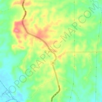
Name: El Viajano topographic map, elevation, terrain.

Location: El Viajano, Sahagún, Sabanas, Córdoba, 130004, Colombia (8.61395 -75.50337 8.65395 -75.46337)

Average elevation: 128 m

Minimum elevation: 89 m

Maximum elevation: 181 m

Gear up for your next adventure:

🥤Collapsible Travel Cup - Saves space and weight in your mess kit
🥾Trail Running Shoes - Lightweight and durable shoes for trail running
🔋Lithium AA Batteries - Long-lasting power that performs in extreme cold
🥾Trail Hiking Shoes - Durable shoes designed for rugged trails
🧴Insect Repellent - Protect yourself from bugs during outdoor adventures

As an Amazon Associate, this site earns from qualifying purchases at no extra cost to you.