Geolocate

El Picacho topographic map

Click on the map to display elevation.

About this map

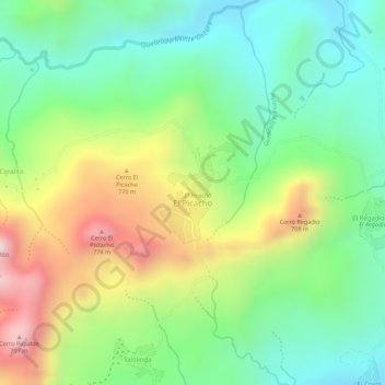
Name: El Picacho topographic map, elevation, terrain.

Location: El Picacho, Santa Rosa del Peñón, León, 22700, Nicaragua (12.84271 -86.41804 12.84984 -86.41238)

Average elevation: 527 m

Minimum elevation: 337 m

Maximum elevation: 813 m

Gear up for your next adventure:

💧Hydration Bladder - Hands-free hydration solution for long treks
💡LED Headlamp - Hands-free illumination for night hiking and camping
Lightweight Camping Tent - Portable shelter optimized for Canadian backcountry camping
💧Reusable Water Bottle - Durable water bottles for hydration on trails
🔨Vehicle Emergency Tool - Safety tool for remote road trips to trailheads

As an Amazon Associate, this site earns from qualifying purchases at no extra cost to you.