
Keret topographic map
Interactive map
Click on the map to display elevation.
About this map
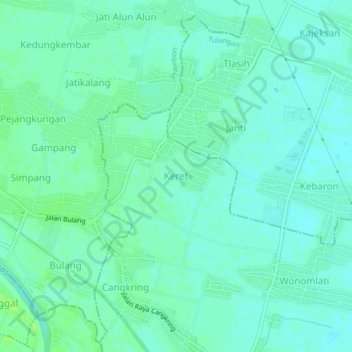
Name: Keret topographic map, elevation, terrain.
Location: Keret, Krembung, Sidoarjo, Jawa Timur, Indonésie (-7.50539 112.59384 -7.46539 112.63384)
Average elevation: 10 m
Minimum elevation: 5 m
Maximum elevation: 19 m