
Make a donation
Gear up for your next adventure:
As an Amazon Associate, this site earns from qualifying purchases at no extra cost to you.
Freiburg (Elbe) topographic map
Click on the map to display elevation.
Make a donation
Gear up for your next adventure:
As an Amazon Associate, this site earns from qualifying purchases at no extra cost to you.
Freiburg (Elbe)
Freiburg liegt am Süd-Westufer der Elbe, etwa in Höhe des Stromkilometers 682. Innerhalb des Landkreises Stade ist der Flecken sehr weit nördlich gelegen. In der Luftlinie sind es bis Stade 27 km, nach Cuxhaven 40 km. Der nächstgelegene größere Ort Glückstadt befindet sich auf der anderen Elbseite in Schleswig-Holstein und ist mit der Elbfähre Glückstadt–Wischhafen zu erreichen.
Make a donation
Gear up for your next adventure:
As an Amazon Associate, this site earns from qualifying purchases at no extra cost to you.
About this map
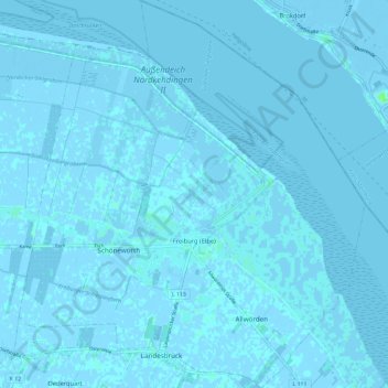
Name: Freiburg (Elbe) topographic map, elevation, terrain.
Average elevation: 0 m
Minimum elevation: -6 m
Maximum elevation: 7 m
Make a donation
Gear up for your next adventure:
As an Amazon Associate, this site earns from qualifying purchases at no extra cost to you.