
Nederasselt topographic map
Interactive map
Click on the map to display elevation.
About this map
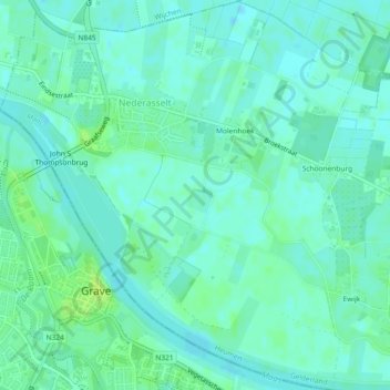
Name: Nederasselt topographic map, elevation, terrain.
Location: Nederasselt, Heumen, Geldern, Niederlande (51.75238 5.72975 51.78082 5.77083)
Average elevation: 10 m
Minimum elevation: 5 m
Maximum elevation: 17 m