
Obereggen topographic map
Interactive map
Click on the map to display elevation.
About this map
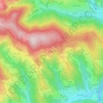
Name: Obereggen topographic map, elevation, terrain.
Average elevation: 1,029 m
Minimum elevation: 777 m
Maximum elevation: 1,318 m
Other topographic maps
Click on a map to view its topography, its elevation and its terrain.
Hochrindl - Alpl
Österreich > Kärnten > Albeck
Hochrindl - Alpl, Albeck, Bezirk Feldkirchen, Kärnten, 9571, Österreich
Average elevation: 1,496 m