
La Paya topographic map
Interactive map
Click on the map to display elevation.
About this map
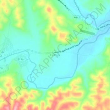
Name: La Paya topographic map, elevation, terrain.
Location: La Paya, Tepehuanes, Durango, México (25.31076 -105.77227 25.35076 -105.73227)
Average elevation: 1,847 m
Minimum elevation: 1,795 m
Maximum elevation: 1,962 m